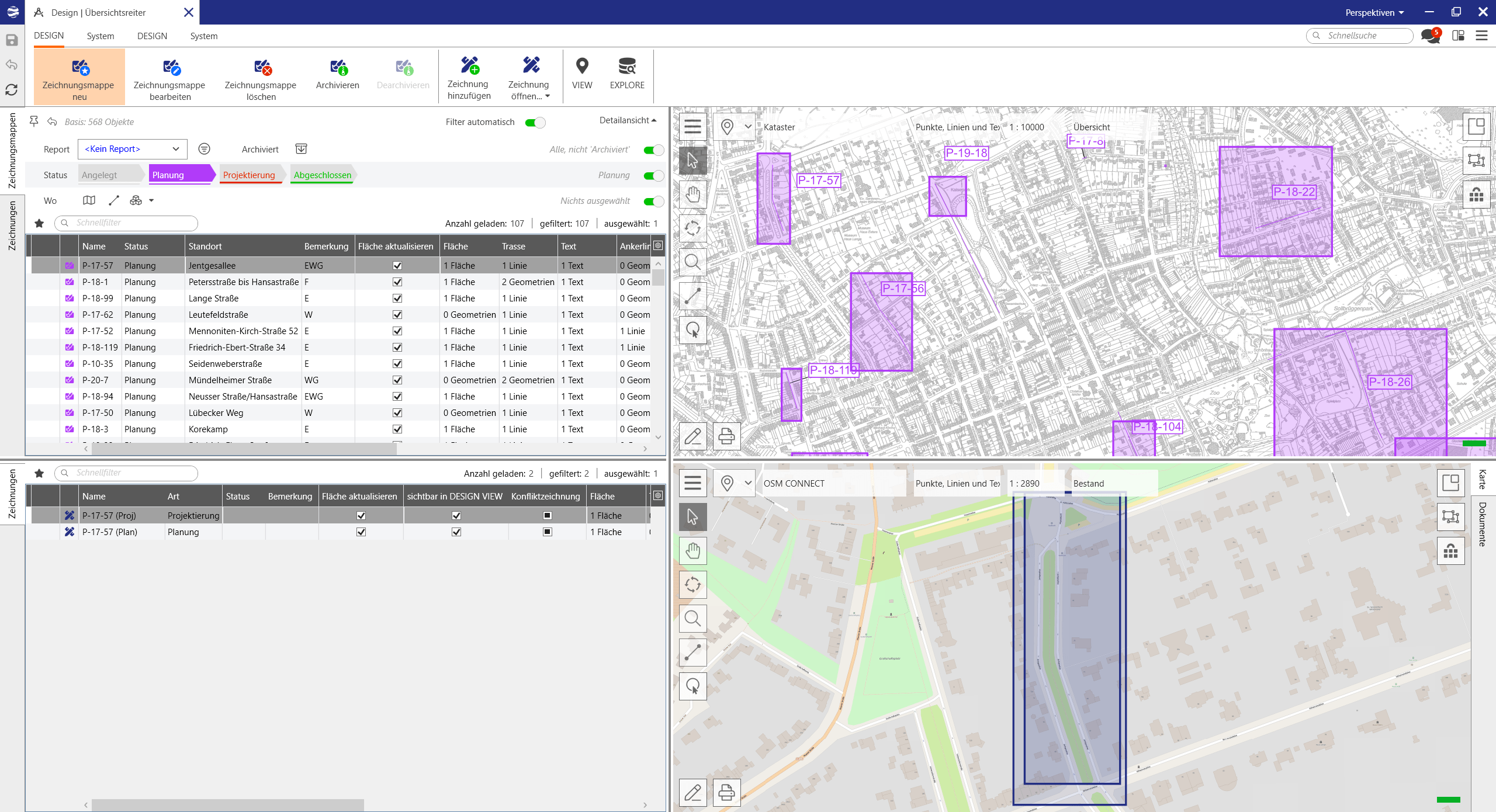
Lovion DESIGN

Drawing Plans

Overview

In Lovion DESIGN, drawing plans can be created quickly and easily based current grid plans. Access to information is available to all users via Lovion’s authorization management including slides and projects. Easy-to-use design tools are used for planning and executing projects. They are also used for cost calculations in conjunction with Lovion COSTING.

Planning Management

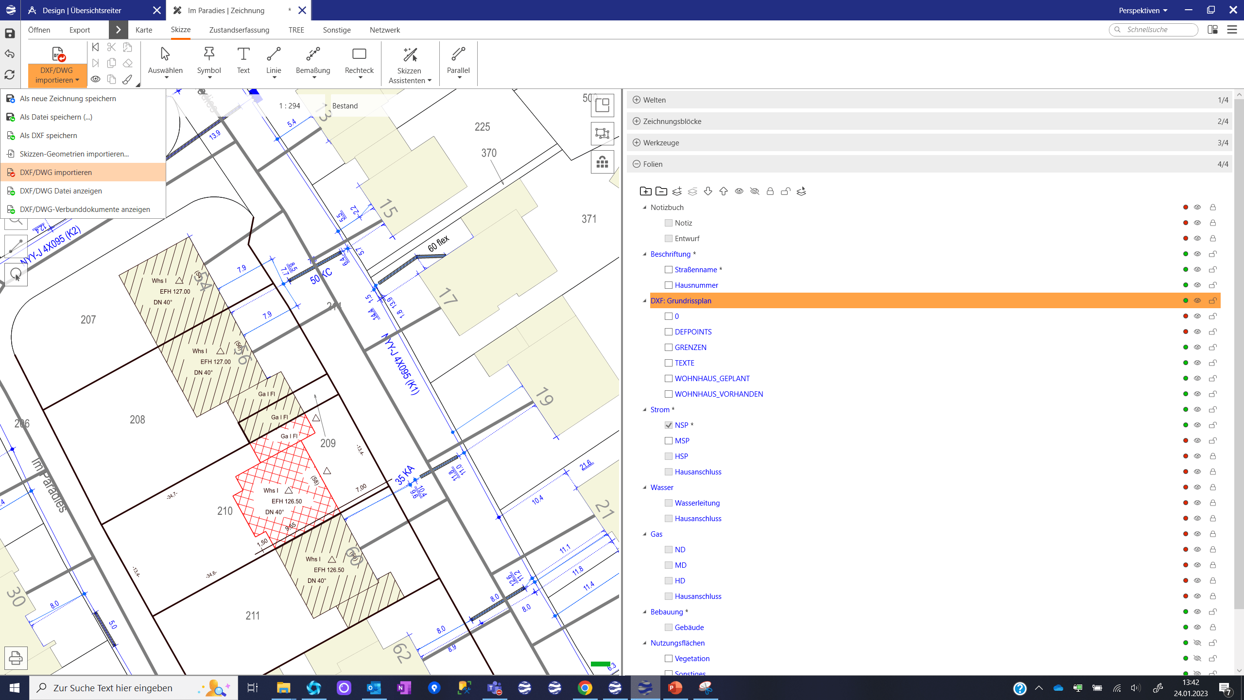
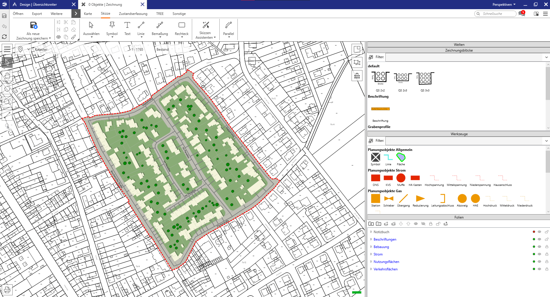
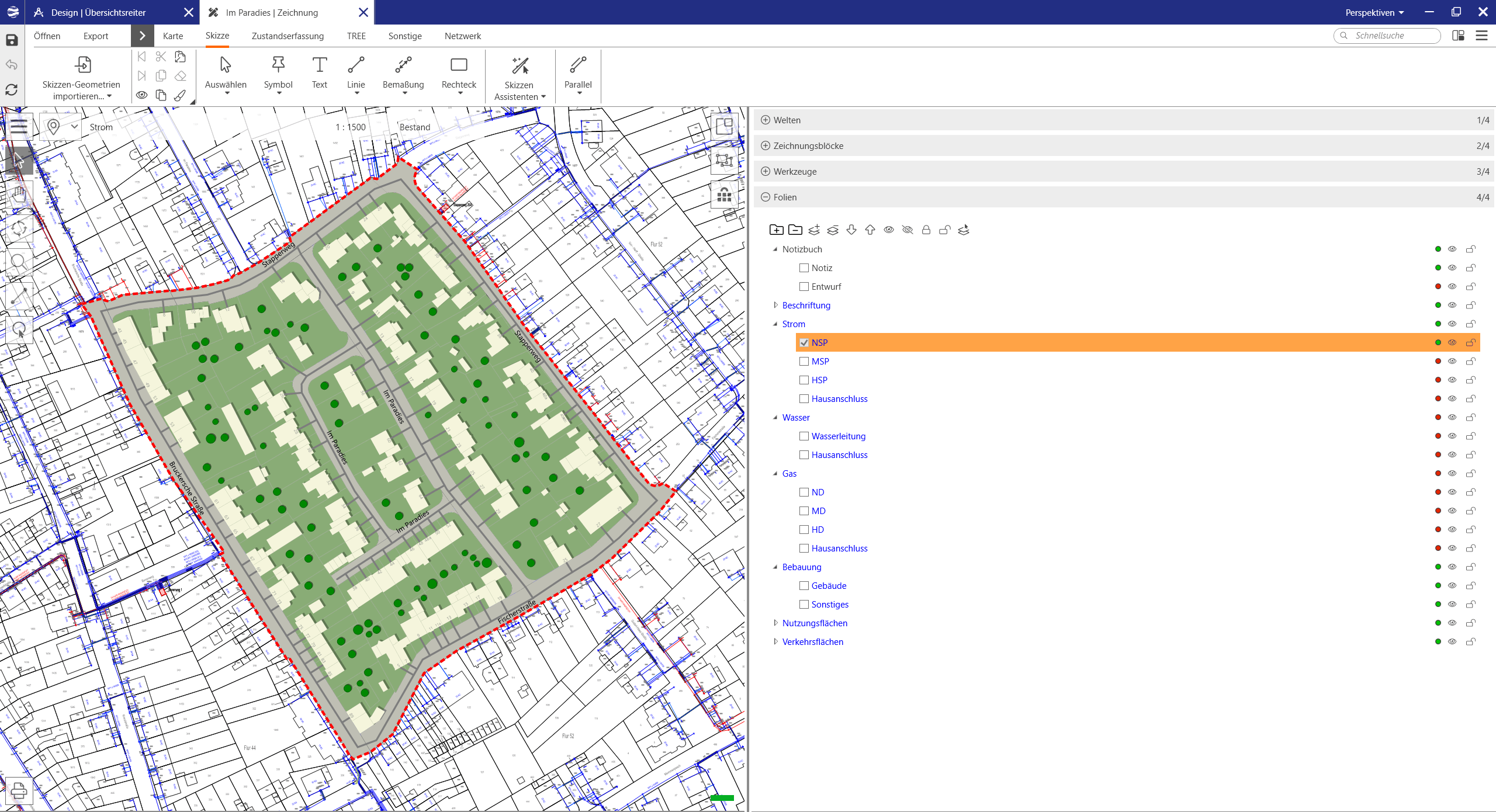
Lovion DESIGN includes an integrated planning management tool. The boundary for each drawing plan is defined within the integrated map view. All drawing plan boundaries are visible in an overview map and are depicted in various colours based on their current planning status. When selecting a planning area, the associated drawing is opened.

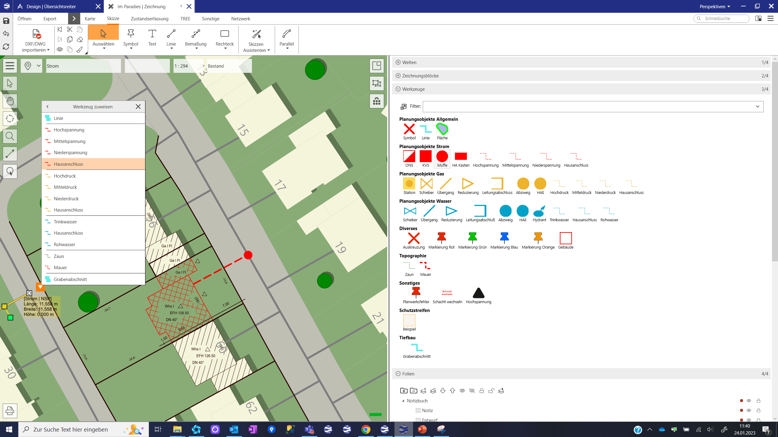
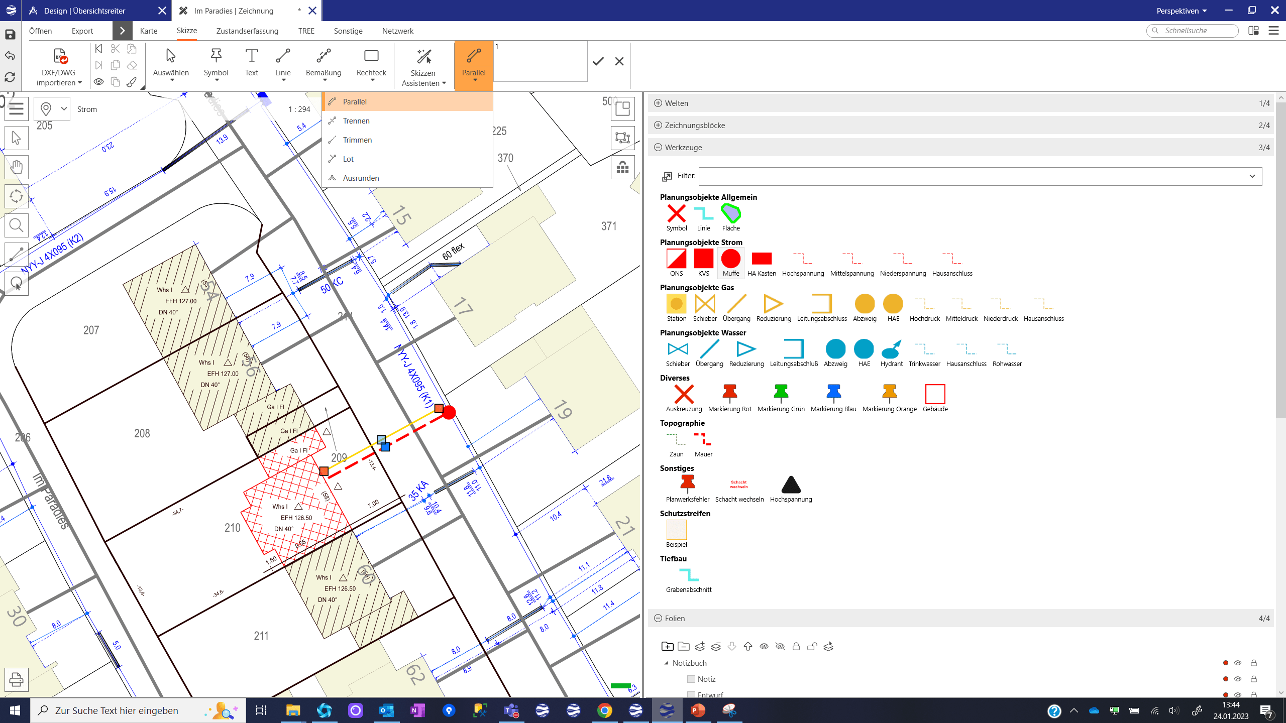
For each plan, an unlimited number of drawings can be created. Each drawing can contain different information and have a different areal boundary. This area boundary is defined within the map view. Furthermore, existing drawings can be duplicated. This makes it easy to create different variations of one drawing plan. New drawings can also be created from existing sketch files. All visible geometries are saved to the current drawing plan when clicking on the “save” button.

Layer Management

Each drawing plan has different drawing layers. Geometries are drawn on these layers. Futhermore, these layers can be defined individually and have different properties. For example, a separate layer can be created for each sector (gas, water, electricity, etc.). Layers can also be made visible or invisible or be locked so that geometries are not editable. Each new drawing automatically contains a default selection of slides.

Lovion DESIGN has an extensive authorization framework. User access rights can be defined for drawing projects, drawing plans and even drawing layers. These access rights can even be configured for different utility sectors. For example, a planner can have access rights for the gas and water sector where they can edit gas and water layers, whereas electricity layers can only be viewed and not edited. As a result, all sectors can be planned simultaneously by different users.

Raster Data and DXF Files

Additional raster data can also be imported and transformed into the current coordinate system. This function can be used, for example, to georeference a development plan using identical reference points in both the raster image and the grid plan. DXF files can also be used as a planning basis by importing them through Lovion DXF CONNECT. DXF file layers are automatically imported as separate drawing layers and can be made visible or invisible whilst editing the drawing plan.

Planning Objects

Predefined drawing tools are available to simplify planning work. A tool acts as a drawing template with predefined geometry features such as color or width and also contain technical attributes. New tools are easily configured and can be adapted to changing requirements. These tools are selectable from a catalogue with previews and their respective names. They are also clearly grouped into their respective utility sector.

Construction Functions

Existing lines can be duplicated as parallel lines with a specific offset using the “Parallel” function. This is done by entering the offset distance or alternatively, interactively drawing the lines in the map by simply moving the parallel line with the mouse. After confirming the changes, the geometry is created. Parallel lines can also be moved several times.

Line geometries are divided into sections using the “Split” function. Furthermore, line geometries can also be stretched and trimmed using the “Trim” function. Perpendicular lines to a selected base line can be created using the “Perpendicular” function. All construction functions are interactively available using the mouse or by entering the corresponding dimensions.

Drawing Blocks

To use drawing blocks such as map keys, information texts, complex symbols or cross-section visualizations, they first have to be made available as drawing block templates. If these files are available, planners can use them and select them from the drawing block catalogue. These blocks are then positioned in the drawing using the drag-and-drop function. Once they have been positioned in the map, their geometry grouping can be removed so that individual geometries or sections can be modified.

Cost Calculations

Based on planned material drawn in Lovion DESIGN, costs can subsquently be calculated using Lovion COSTING. The calculation is carried out for each layer and can be assigned to a construction measure in Lovion PROJECT. The list of services and materials from the ERP system forms the basis for this calculation. They are stored in Lovion COSTING. The appropriate configuration is then used to determine which services and materials are required for constructing an asset.

Benefits

Projektberichte

Verwandte Produkte

Informationen zum Datenschutz findest Du in unserer Datenschutzerklärung.
* Pflichtfelder müssen ausgefüllt werden.

Wir freuen uns, dass Sie da sind!

Leider ist unsere Website nicht für den Internet Explorer konzipiert. Für eine optimale Darstellung empfehlen wir Ihnen einen aktuellen Browser zu verwenden!