Lovion MAPS

Map Enquiries via the Internet

Overview

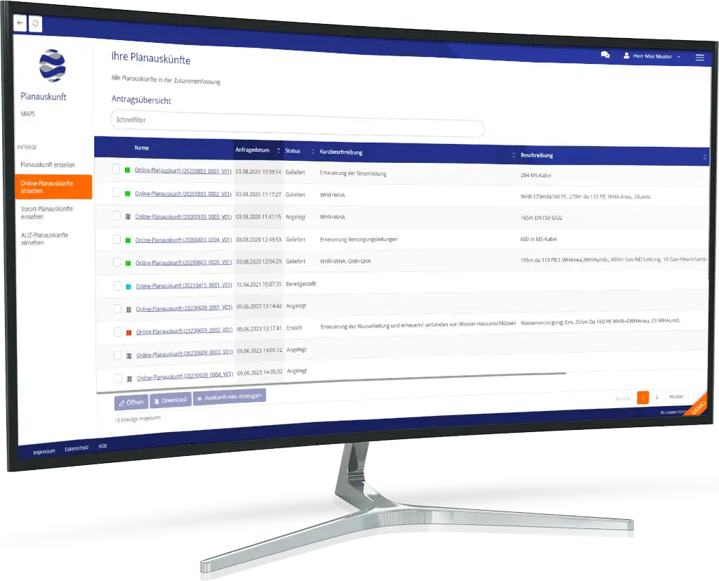
In the rules and regulations GW 118 and S 118 with the German title “Erteilung von Auskünften in Versorgungsunternehmen” by the DVGW (German Association for Gas and Water) and VDN (Association for Utility Companies), guidelines for information queries have been clearly defined for utility companies. The Lovion MAPS PORTAL implements these rules and regulations to enable utility companies to provide non-discriminatory planning information through the internet. Information requests mainly come from construction companies and planning offices via the Lovion MAPS PORTAL.

Portal Client

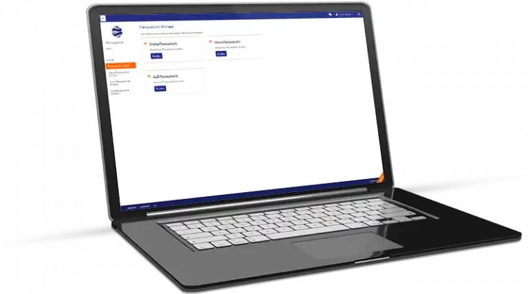
The Lovion MAPS PORTAL Client is developed in HTML and can be easily integrated into a company’s existing website. The product is designed in such a way that the layout can be adapted to the layout of the homepage by simply replacing a few graphic elements, such as the company logo. The Lovion MAPS PORTAL user interface is designed in such a way that the product can be used without training or instruction. Help is available during the entire query process.

Query Process

Users requesting planning information are guided through five processing steps. They have to enter all required information for the query. These steps are described below:

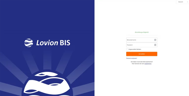
Step 1: Login

The first step for the user is to login into the Lovion MAPS PORTAL using their username and password. Lovion’s authorization functions check access rights and only allow users to access specific information based on their role and department. Access can also be restricted geographically, for example, for a certain municipal area Terms and conditions for using the Lovion MAPS PORTAL and the information provided can be displayed on the login screen. This can also include other features such as a map key and explanation of further symbols.

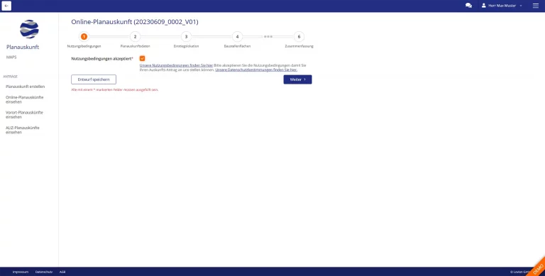
Step 2: Terms and Conditions

After the user’s login, they have to explicitly accept the terms and conditions of the Lovion MAPS PORTAL. These terms and conditions have to be defined individually for each company and are easily editable in the Lovion MAPS PORTAL.

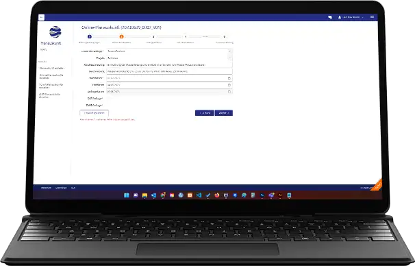
Step 3: Reasons for Accessing Planning Information

Afterwards, the user enters the required information to access certain planning data. The type of data that can be requested in the standard configuration is based on specifications provided by the associations and includes the following information:

  • Measure type (planning, construction work)
  • Planned implementation date
  • Measure description
  • Location (address or parcel).

Optionally, special formats, such as A0 plots for large developments or DXF data for planning offices can be requested. The location data, usually an address or parcel, is also used to navigate in the map. ALKIS data or individual location databases can be used.

Step 4: Selecting Map Data

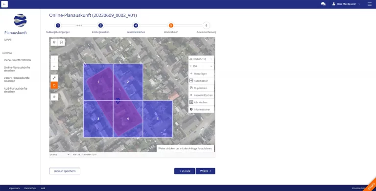
Based on the location data inserted by the user in step three, a map is displayed where an area for the requested data can be defined. Usually a general base map is used. However, other data such as a DGK5 map can also be used. The user has the option of defining several sections, for example if data for a long road is required. The maximum number of sections is configured in the authorization. When selecting map sections, several preconfigurable map layouts and scales can be used. If the spatial authorization is applied, users can only see authorized areas.

Step 5: Results

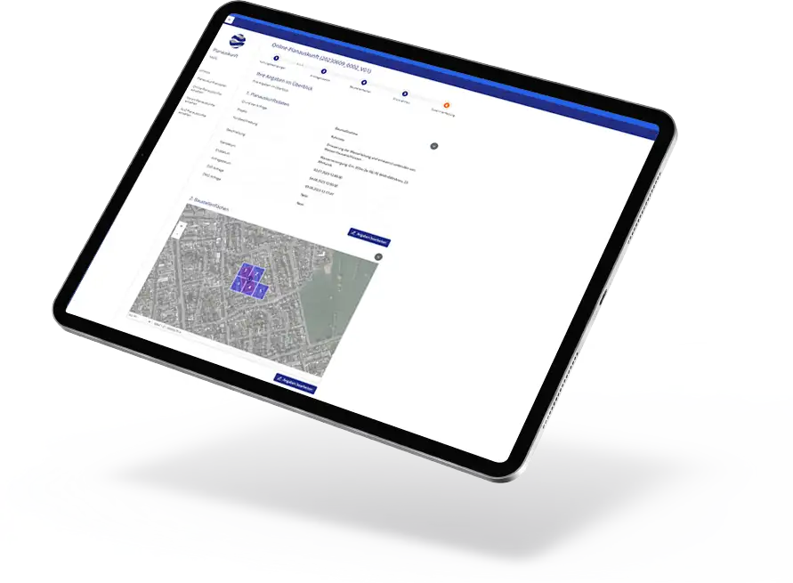
Each request automatically receives a unique id number. After users enters all required information, they are notified that a reply will be sent via email. Based on the predefined parameters and map sections, the Lovion MAPS server automatically creates corresponding plots as PDF files. Furthermore, all information regarding the request is saved including name, date, time and PDF plots. These can either be sent automatically via email or are first reviewed by a person in the back office. If the information is sent immediately, all map content with out-of-date information is covered with rectangular areas. In addition, a note appears that further information (e.g. survey sketches) will be sent at a later stage.

Benefits

Projektberichte

Verwandte Produkte

Informationen zum Datenschutz findest Du in unserer Datenschutzerklärung.
* Pflichtfelder müssen ausgefüllt werden.

Wir freuen uns, dass Sie da sind!

Leider ist unsere Website nicht für den Internet Explorer konzipiert. Für eine optimale Darstellung empfehlen wir Ihnen einen aktuellen Browser zu verwenden!